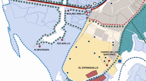
Bay of Cadiz-Jerez de la Frontera Zoning Plan
-
Situación:
Cádiz - España
-
Superficie:
179.330 Ha
-
Población:
632.000 hab.
-
Realización:
2010-2012
-
Contratante:
Dirección General de Ordenación del Territorio y Urbanismo de La Junta de Andalucía
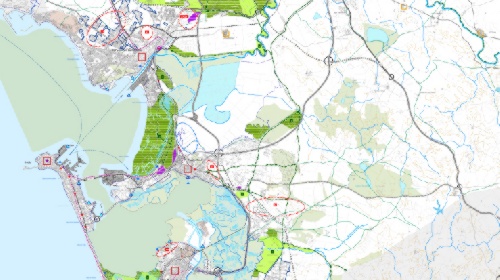
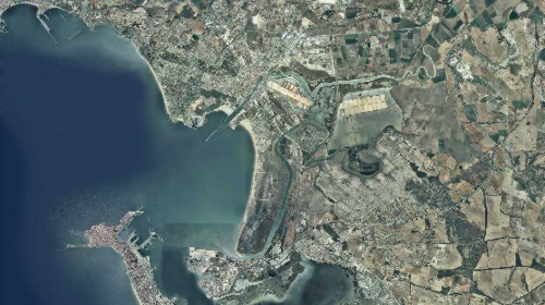
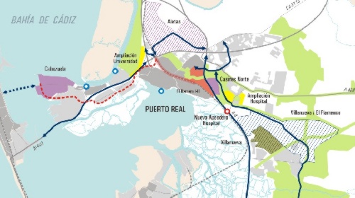
Polynuclear urban agglomeration comprising the towns of Cadiz, Chiclana de la Frontera, Jerez de la Frontera, Puerto Real, El Puerto de Santa Maria and San Fernando, four of which contain historic heritage sites. The agglomeration also includes several archaeological sites and the following protected spaces: the Bay of Cadiz Nature Park, the Island of Trocadero and Sancti-Petri Marshlands, both areas of outstanding natural beauty, and the closed watershed nature reserves of El Puerto Santa Maria, Puerto Real and Chiclana.
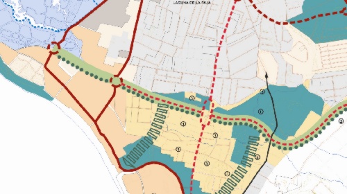
The principal objectives of the plan are to consolidate the agglomeration as the industrial focal point of the region, create a metropolitan space with diverse but complementary uses, encourage compact urban expansion integrated with the environment, and promote and protect the landscape.


 singular projects
 relación de trabajos

